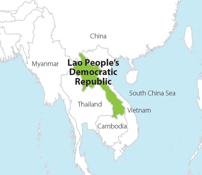
In Lao People's Democratic Republic (Lao PDR) forests covered much of the country’s surface area in the 1970s, but have depleted to about 51% of its total land area since the late 1990s. Forest loss has been closely linked with interests in land-based investments, and has been driven primarily by shifting cultivation, agricultural expansion, logging and plantation agriculture.
6 northern provinces, covering more than a third of the country
Lao PDR’s ER program addresses the drivers and underlying causes of deforestation and forest degradation through provincial-level activities in six northern provinces. Working across key land-use sectors, the program is providing a strong, strategic, and scalable foundation to promote sustainable agriculture practices, forest management, conservation, and rehabilitation. The program’s programmatic approach combines priority policy actions; improvements in forest management practices and measures to reduce pressure from the agriculture sector, including through integrated spatial planning; and sustainable livelihood development. The program’s benefit-sharing arrangements encourage the participation of local communities, ethnic minority groups, and other stakeholders and provide incentives for greener and more resilient landscape management.


